Last updated:
What do I need to know?
The following information may help you find records of interest to you:
- the place name for the area you want to research
- the name of the land parish - these can be found in red on a key plan of Victoria - select the appropriate part of Victoria: South East Victoria | North East Victoria | North West Victoria | South West Victoria
- the names of major rivers
- type of plan, for example, cemetery, coastal survey, railway line, telegraph route, road, water supply works
Note: We recommend viewing these plans on our Map Warper Tool laid over a contemporary map. To find a plan in Map Warper:
- Enter the contemporary place name or the name of the land parish in the search field and click 'search'.
- Or, go to the 'Find Maps by Location' tab, type the contemporary place name into the search field and click 'find location.'
- Click on your chosen map and go to the 'Preview' tab to view the map placed over its contemporary location. You can use the transparency slider to change the opacity of the plan.
How do I search?
You can search this collection online for a particular plan by parish, township, type of plan or other place name. Please note many plans are identified by reference to land parish and township names only and many other location names may not work if you use them as your search term. Some, but not all, plans can also be search by surveyor name, for example, Hoddle.
About these records
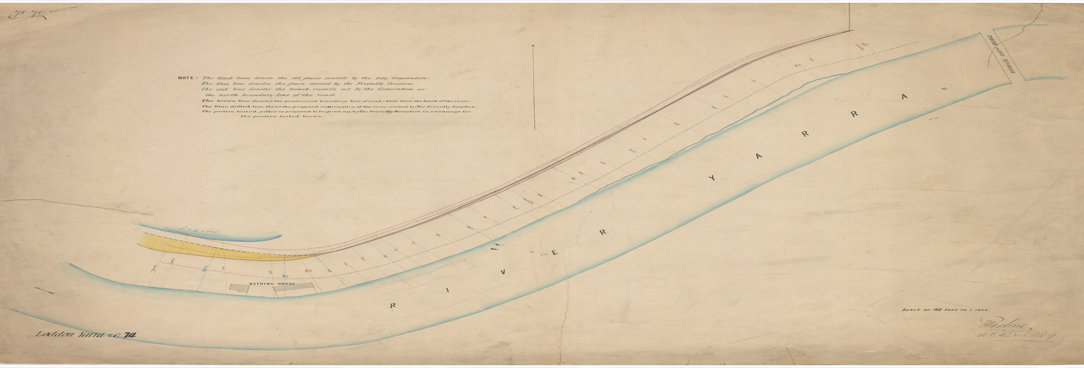
The historic plan collection consists of over 11,000 survey and other plans dating from 1836 to the 1980s. It is an important resource for exploring the beginnings and expansion of European settlement in Victoria, and changes in land use over time.
The collection is arranged into forty-eight different plan sub-collections. These sub-collections - for example, Cemeteries (CEM), Miscellaneous Coastal Survey (MCS), and Explorers Routes (EXP), provide a guide to the content of the plans.
Who created these records?
This collection was created, titled and maintained by the various agencies responsible for Crown land management from 1836 until the 1980s.
Next Steps
Order the original record for viewing in the Reading Room, or view the digital image of the record online (if digitised).
Useful links
What are in these records?
Most of these plans record ancillary information captured during cadastral surveys (that is, surveys to document the boundaries of allotments, parishes and townships). The collection also includes various published plans and plans created during geodetic and physiographic surveys. Information that may be found on plans in the collection can include:
- early descriptions of soils and native vegetation
- locations of huts, fences, gardens and other capital improvements made by squatters and other settlers
- location of other buildings
- tracks used by colonial settlers
- reserves set aside for public use
- early place names
- location of pastoral runs
- locations of ship wrecks
- the general progress of European settlement at various times
Material in the Public Record Office Victoria archival collection contains words and descriptions that reflect attitudes and government policies at different times which may be insensitive and upsetting
Aboriginal and Torres Strait Islander Peoples should be aware the collection and website may contain images, voices and names of deceased persons.
PROV provides advice to researchers wishing to access, publish or re-use records about Aboriginal Peoples
