Author: Kate Follington
Are you a map lover?
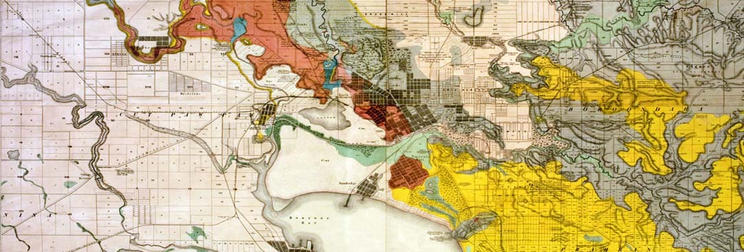
Is it seeing the origin of your geographic home that holds your attention? Or do you prefer the rich aesthetic of old maps? Sometimes it's not the map's location which draws our breath but its sketched up lines mixed with colour that when turned upside down are akin more to contemporary art than an 1850 cadastral map of land boundaries in Footscray. And speaking of cadastral maps, if that's your thing why not head over to our Map Warper tool where you can view over 4000 Parish plans overlaid on the contemporary world.
Public Record Office Victoria preserves one of the more comprehensive collections of olds maps and plans in Victoria, some argue one of the most valuable in Australia, and following a multi-year project dedicated to making it accessible, over half of it can now be downloaded.
Historic Plans Collection
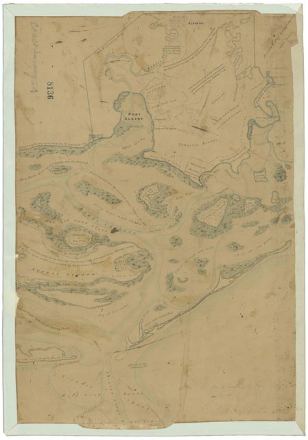
The collection known as The Historic Plans collection includes 11500 items from across 48 collections, and dates from the year 1836 until 1984. As the name suggests they are mostly plans, but there are thousands of maps within the collection as well. They have been scanned at high resolution so you can download a very good quality version free of charge.
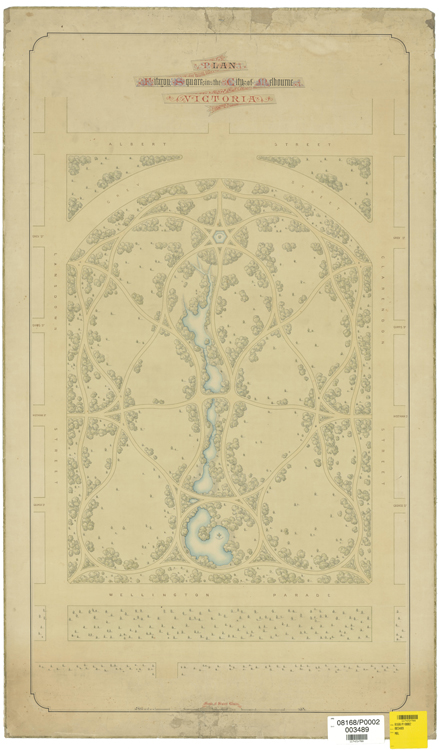
Fitzroy Gardens, Date Unknown
We find maps attract a lot of interest from collectors and history lovers, understandably, they offer an aerial view of the places we hold most dear in our lives and present an historical comparison over time as to how the landscape of history has changed, either forced through war, purchased for development, colonised (or invaded with brutal justification) or, in the case of sewerage plans or water supply, through a necessity in town planning. Maps and plans are the evidence of our constant changing surroundings.

What sort of maps are they?
While these plans are mainly concerned with recording ‘cadastral’ information, or the boundaries of properties, there are many sequences and plans that record other types of information as well. You might find:
- early descriptions of soils and native vegetation
- location of huts, fences, gardens and other capital improvements made by squatters
- location of other buildings
- tracks used by colonial settlers
- reserves set aside for public use
- early place names
- location of pastoral runs
- ship wrecks
- the general progress of European settlement at various times
- progress of cadastral, geodetic and physiographic surveys at particular times
The historic plans collection is a collection of early surveys and other kinds of maps kept by the Department of Crown Lands and Survey between 1836 and 1984. It is an important resource for exploring the beginnings of European settlement in Victoria.
How to Search and Order a Plan
You can search by place name, or parish (an historic area name) on the topic page for the Historic Plans Collection, and if the date range exists, you can then filter further by date range on the search results page. You can filter by digital or physical items also (on the left hand side of the results screen) or, look out for the digital and physical icons on each result. Click through to the item in the catalogue and download the PDF scanned item.
If a result appears which has not been digitised you can order that map to view in the reading room, assuming its not too fragile, and at that point you can photograph the map. If the map has been deemed too fragile it will be coded S11 in the catalogue.

