Author: Samantha Courtier
Senior Analyst, Records & Archives
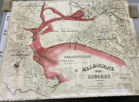
Historic records of Ports Victoria and predecessor agencies including the Melbourne Harbor Trust Commissioners, the Ports and Harbours Branch of the Public Works Department, the Geelong Harbor Trust, and the Port of Melbourne Authority have recently been added to PROV’s collection. The records primarily consist of maps and plans, and date back to the nineteenth century.
The transfer project begins
In mid-2019, a team of Public Record Office Victoria (PROV) staff made the two hour drive south-west from North Melbourne to Queenscliff, the home of the Queenscliffe Maritime Museum (QMM). There was a large collection of public records that had been stored there since the early 2000s that was understood to most likely be of permanent value, and that therefore needed to be transferred as archival records to PROV.
While the records had been carefully looked after and preserved in a purpose-built archival repository, they had never been catalogued or described. This meant they were largely inaccessible to the public or to the government agencies that had inherited the ports and harbours functions depicted in the records. This also made the prospect of a transfer much more difficult – how could PROV get thousands of undescribed plans and other records into custody as soon as possible, and make them searchable on our website and orderable by researchers?
Ports Victoria (in 2019 known as Victorian Ports Corporation) is the agency currently responsible for these records. They agreed to commission PROV to undertake the entirety of the transfer process – from identifying permanent series and temporary records, creating record listings and descriptions, and moving the records into long-term storage locations in the North Melbourne repository at the Victorian Archives Centre. By February 2020, PROV’s archivists were ready to bring the records into custody.
Uplift
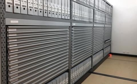
In hindsight, we were fortunate that we organised the uplift of the records for February 2020. Subsequent pandemic orders would have made this difficult to execute at a later date. After labelling the outside of all of the record containers, transportation took place over two days. Trucks were filled with boxes, cages of loose rolled plans, old flat drawers holding plans, and 27 vertical plan presses full of heavy and oversized plans. These were then driven from Queenscliff to the Victorian Archives Centre, and set up in the repository ready for PROV’s archivists to get to work.
Making sense of the records
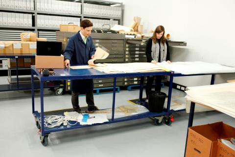
Once the records were on-site in PROV’s North Melbourne repository processing area, we then got stuck in trying to make sense of records for functions we previously had little knowledge of, with minimal catalogues or databases to help us out. We spent a few weeks surveying the collection and attempting to identify individual recordkeeping systems, until in late March 2020 when we were suddenly working from home, meaning very little work could be done on the project. It wasn’t until November 2020, when we were finally able to come back to the office, that we really got started.
We slowly learned about the functions depicted in the records at the same time as we were trying to sort out how the records fit into series and how they related to each other. Not exactly a simple task. With the records stored in two main locations – one set which was mixed up inside old flat plan drawers, and the majority hanging in bundles in vertical plan presses – we decided to focus on the flat drawers first to try and make sense of them. The archivists had to sort the records back into what we could identify as their series, trying to restore their original order as much as possible. From here, we were able to isolate some of what would turn out to be the key series from this collection. The knowledge and growing familiarity with the records and recordkeeping systems then proved vital in forming an understanding of how the rest of the collection fit together as we moved onto processing the records held in the vertical plan presses.
Physical processing
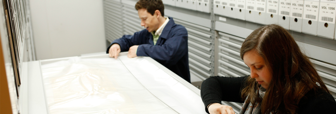
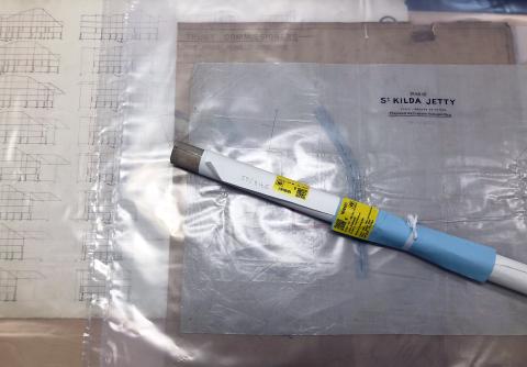
With the series breakdown starting to take shape, we could begin creating the record description lists and putting the records into their final, long-term storage locations. As the majority of the collection consisted of maps and plans, this mostly involved re-housing them into acid-free plan bags, labelling the bags with series and item information, and relocating them into drawer space. With over 15,000 record items in total making up the collection, this turned out to be a lot of bags and a lot of repository drawers! At the same time, we prepared the record description lists, recording information such as title, plan number, and date range for each record so that they can be individually orderable for researchers.
With a number of different record formats making up the collection, other types had to go into custom-made boxes and onto repository shelving. With a few breaks due to pandemic orders – this is of course not the type of work that can be done from home – physical processing of the collection including arranging, listing, bagging, boxing, labelling, and storing took in total about twelve months.
Highlights of the collection
These are some of the key series of interest:
• VPRS 18783 – Harbour Works Plans
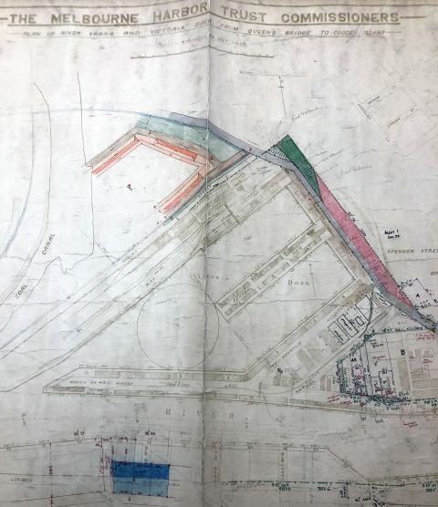
Visually, this is probably the most interesting and stimulating of the series in this collection. The plans primarily depict port infrastructure, such as piers and jetties, along the Victorian coast. The plans include colour illustrations of the structures, and often prices of the proposed works. Researchers can find plans of some iconic Victorian waterway infrastructure in this series, such as the St Kilda Pier. The records can be searched by plan number, or by the location which is present in the record title. There has been some past water damage to some of the plans in this series, so researchers ordering these to view should make sure to handle them with care.
• VPRS 18781 – Historic Soundings Plans
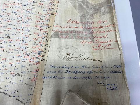
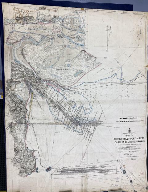
This series contains some of the oldest plans in the collection. The number of plans available is small, and the series in custody is not complete, but there are some fascinating depictions of Melbourne waterways, including early soundings, to be found in this series. The series primarily dates from the nineteenth century, with a few plans in the early twentieth century, so they are hand drawn and delicate.
• VPRS 18789 – Port of Melbourne Soundings Plans
This series contains sounding plans from the area under the responsibility of the Melbourne Harbor Trust Commissioners, which was primarily ports and berths in what we now consider metropolitan Melbourne. Unlike most of the other series of soundings plans, this series primarily consists of plans of very small areas, such as one berth at Yarraville or South Wharf, and the surrounding soundings measurements. Researchers can get a good idea of changes from year to year, as well as see the infrastructure associated with each port and jetty.
• VPRS 18782 – Hydrographic Survey Plans
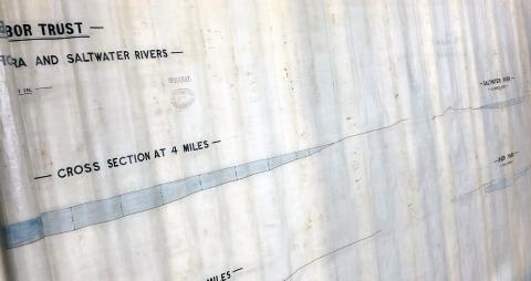
This is the largest series in the collection, and is the primary source of soundings for the whole of Victoria. Starting in the 1850s, this series contains some of the earliest plans documenting ocean depths and maritime infrastructure. This is where researchers can find plans showing dredging locations, pre- and post-dredging surveys, and spoil ground locations. The series also depicts key marine locations, in particular changes in water depths, over time.
Project complete!
The record description lists have now been imported into PROV’s new Archival Management System, and the records have been scanned into their storage locations. The entire collection is now available on open access for anyone to order and view in our North Melbourne reading room. To explore the collection, you can browse through the series links below:
Material in the Public Record Office Victoria archival collection contains words and descriptions that reflect attitudes and government policies at different times which may be insensitive and upsetting
Aboriginal and Torres Strait Islander Peoples should be aware the collection and website may contain images, voices and names of deceased persons.
PROV provides advice to researchers wishing to access, publish or re-use records about Aboriginal Peoples
